Land-Water-Distribution from MODIS-SRTM
Topics
- Access
- Description
- Parameters
- Coverage, spatial and temporal resolution
- Data quality
- Contact person
- References
- Data citation
Access
RESTRICTED: This link to the data set is only available for a restricted user group. The data set is only accessible in CEN/MPI net or accessible from external nets with a customer account. Please contact ICDC if you would like to access this data from outside the network.
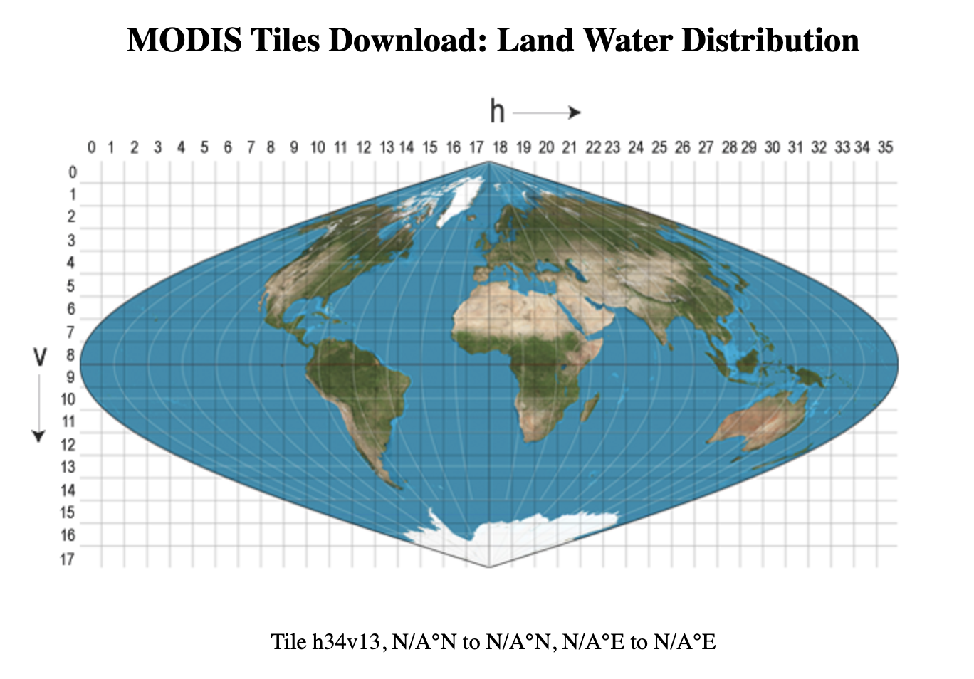
- Access data via ICDC's MODIS Tiles Download Tool: On the website choose a tile on the map and get the corresponding data paths and THREDDS download links
- Data access via file system: /data/icdc/land/modis-srtm_landwaterdistribution
Description
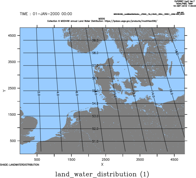
The data set contains a new, high resolution (250 m) data set of the MOD44W Collection 6.1 land-water distribution - including Antarctica, updated annually. This data set is primarily based on results of the Space Shuttle Topographic Mission (SRTM) for the region 60°S to 60°N, on global 16-day composites of TERRA-MODIS and AQUA-MODIS data poleward of 60°N or 60°S, and on the Mosaic of Antarctica (MOA, see references). Gaps in the region covered by SRTM are filled with MODIS data also.
A brief description of this data set and the improvement compared to earlier versions is given in the Global MODIS water maps Users Guide and on the LP DAAC - MOD44W web page (see references).
Last update of data set at ICDC: February 27, 2025.
Parameters
| Name | Unit | Comment |
|---|---|---|
| land-water distribution (0 or 1) | - | - |
| water body classification values | 1 ... 7; 255 | - |
| quality flag | 1 ... 9; 10 | Here 6: Burn scar (from MCD64A1) |
Coverage, spatial and temporal resolution
Period and temporal resolution:
- 2000 to 2022
- yearly
Coverage and spatial resolution:
- Global
- Spatial resolution: 250 m x 250 m
- Geographic longitude: -180°E to 180°E
- Geographic latitude: -90°N to 90°N
- Dimension: 10° x 10° MODIS tiles, each tile contains 4800 columns x 4800 rows
- Altitude: follows topography
Format:
- NetCDF
Data quality
Data quality was checked through comparison with in situ observations and independent, finer resolved air- and space-borne sensors (e.g. LandSAT and ASTER), and the collection 5 product (see MOD44W: Global MODIS water maps user guide and other references).
Compare to the previous version several improvements have been made (see LP DAAC - MOD44W web page at references).
This data set includes a quality flag.
Contact
Mark Carroll
Dept. of Geography, University of Maryland
email: markc (at) umd.eduLPDAAC
email: lpdaac (at) usgs.govStefan Kern
University of Hamburg
email: stefan.kern (at) uni-hamburg.de
References
Literature:
-
Algorithm Theoretical Basis Document (ATBD) and User Guide (pdf, not barrierfree)
- NSIDC/NASA MODIS Mosaic of Antarctica 2003-2004 (MOA2004) Image Map, Version 2, User Guide (pdf, not barrierfree)
- Carroll, M. L., DiMiceli, C.M., Townshend, J.R.G., Sohlberg, R.A., Elders, A.I., Devadiga, S., Sayer, A.M., and Levy, R.C., 2016, Development of an operational land water mask for MODIS Collection 6, and influence on downstream data products, International Journal of Digital Earth, 10(2), 207-218, https://doi.org/10.1080/17538947.2016.1232756
- Carroll, M.L., Townshend, J.R., DiMiceli, C.M., Noojipady, P., and Sohlberg, R.A., 2009, A new global raster water mask at 250 m resolution, International Journal of Digital Earth, 2, 291-308.
- Giglio, L., Loboda, T., Roy, D.P., Quayle, B., and Justice, C.O., 2009, An active-fire based burned area mapping algorithm for the MODIS sensor. Remote Sensing of Environment, 113, 408-420.
- Boschetti, L., D. P. Roy, L. Giglio, H. Huang, M. Zubkova, and M. L. Humber, 2019, Global validation of the collection 6 MODIS burned area product, Remote Sensing of Environment, 235, 111490, http://doi.org/10.1016/j.rse.2019.111490
Another interesting paper about land-water distribution and hydrological applications: Sikder, M. S., et al.: Lake-TopoCat: a global lake drainage topology and catchment database, Earth Syst. Sci. Data, 15, 3483–3511, https://doi.org/10.5194/essd-15-3483-2023 , 2023.
Websites:
- The Terra Moderate Resolution Imaging Spectroradiometer (MODIS) Land Water Mask (MOD44W), LP DAAC - MOD44W web page, https://lpdaac.usgs.gov/products/mod44wv061/
Data citation
Please cite the data as follows:
Carroll, M., C. DiMiceli, J. Townshend, R. Sohlberg, A. Hubbard, M. Wooten, C. Spradlin, R. Gill, S. Strong, A. Burke, M. Blanco-Rojas, M. Frost. MODIS/Terra Land Water Mask Derived from MODIS and SRTM L3 Global 250m SIN Grid V061. 2024, distributed by NASA EOSDIS Land Processes Distributed Active Archive Center, https://doi.org/10.5067/MODIS/MOD44W.061 [last access: 2025-02-26], provided as tiles in netCDF file format by the Integrated Climate Data Center (ICDC), CEN, University of Hamburg.
and with the following acknowledgments:
Thanks to ICDC, CEN, University of Hamburg for data support.