KLIWAS North Sea Climatology (KNSC)

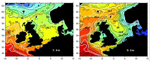
In the frame of the research program KLIWAS (Klimawandel und Wasserstraßen) of the Bundesministerium für Verkehr, Bau und Stadtentwicklung new hydrographic and meteorological climatologies of the North Sea and surrounding regions (47 to 65 °N, 15 °W to 15 °E) were established in a cooperation of the Exzellenzcluster CliSAP of the University of Hamburg, the Bundesamt für Seeschifffahrt und Hydrographie, Hamburg, and the Deutscher Wetterdienst, Hamburg.
Observational data from several sources were collected and processed for the calculation of the quality-controled climatologies. The climatologies consist of gridded, yearly and monthly mean hydrographic and surface meteorological data, respectively. It is planned to expand the climatologies including additional and especially actual data in future versions.
This Climatology was temporally and spatially extended in the frame of the project Baltic and North Seas Climatology.
Hydrographic Climatology

The first version of the hydrographic climatology contains temperature and salinity data at 179 depth levels of the ocean on a 0.25° x 0.5° latitude-longitude grid for the period 1890 to 2011.
More information about this data set
Meteorological Climatology


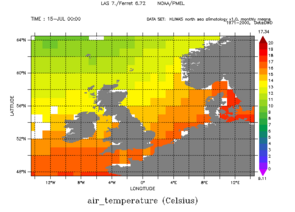
The first version of the meteorological climatology contains air temperature, air pressure and dew-point temperature at the sea surface on a 1° x 1° latitude-longitude grid for the period 1950 to 2010.
More information about this data set
In Cooperation with

