The Search for Thunderstorms
2 September 2021, by Stephanie Janssen

Photo: UHH/CEN/B.Kirsch
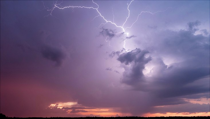
For his doctoral thesis, Bastian Kirsch is investigating thunderstorms and the ‘pools’ of cold air that form beneath them, the so-called cold pools. To do so, he spent several weeks monitoring and maintaining measurement stations in Brandenburg. In the following, he reports on warm air masses and a cold pool named Jogi.
Mr. Kirsch, the project in which you investigated thunderstorms for three months, and for which you set up a network of 99 measurement stations in Brandenburg has now come to an end. What if there hadn’t been any storms there this summer?
Bastian Kirsch: As a matter of fact, we were quite nervous for a couple of weeks, since the time and effort invested were immense. After we launched the project in mid-May, the first thunderstorm over our measuring stations wasn’t until late June. But it was a major one. We named the event Jogi, because it occurred on the day of Germany’s last European Cup game, against England.
You’ve brought the first data from Jogi with you — a graphic. Here you’re particularly interested in the pools of cold air that spread on the surface below a thunderstorm. What are these cold pools all about?

A thunderstorm basically produces cold, heavy air masses below it, which then rapidly sink to the ground. There they spread out in a circle, like a pool. Since the surrounding air is much warmer and lighter, the cold air masses push themselves beneath the warm air on the ground, forcing it upwards. In places where this happens we can feel the temperature drop. The Jogi graphic shows this clearly. The air at the edge is roughly 30 degrees Celsius, but in the cold pool it’s just 18 degrees. That’s a whole 12-degree difference in a very small area.
The gray dots are the individual measuring stations. What do the arrows show?
Along with the temperature and atmospheric pressure, we also measured wind direction at the 19 stations. The arrows clearly show the spread of the cold pool from the center of the storm outwards. In the graphic we can also see how difficult it is to completely ‘capture’ a thunderstorm. Our measuring stations are installed over an area roughly 30 kilometers in diameter. If a cold pool only brushes the edges, we can’t measure its full extent.

And what are you going to do with the data now? Who will it help?
Cold pools are produced by thunderstorms, but they also play an important role in storms’ development. When they lift the warm air, these air masses can initiate further storms. Now, for the first time we have accurately measured the spatial structure of cold pools and can see that the temperature and dryness of the ambient air determine just how cold the pool is. Previously it was assumed that the intensity of precipitation was the main factor. What we’re doing here is fundamental research. Maybe ten years from now, our findings will be integrated into thunderstorm forecasts.
The Hamburg measurement stations were set up around the Lindenberg Observatory. What did you do to keep them up and running?
I had to go out and check about 20 stations every day, which meant transferring the data to my laptop, and replacing the batteries. The sensors, with their three-meter-long masts, were pretty conspicuous at the side of the road. Several people asked me questions about what I was measuring – some were curious, and a few were even suspicious. But when I told them about the thunderstorms, they were always very interested.
More about searching thunderstorms
The research campaign FESSTVaL was already scheduled to take place in 2020, but alternatively carried out as FESSTVaL@home in Hamburg. Article on the World’s first micro-study on thunderstorm distribution: Thunderstorms could increase
Information about FESSTVaL´s start in 2021 (German): Gewittern auf der Spur
Project webpage: FESSTVaL


