Accurate mapping of megacity illegal growth – a promising method
20 December 2016, by CEN Universität Hamburg

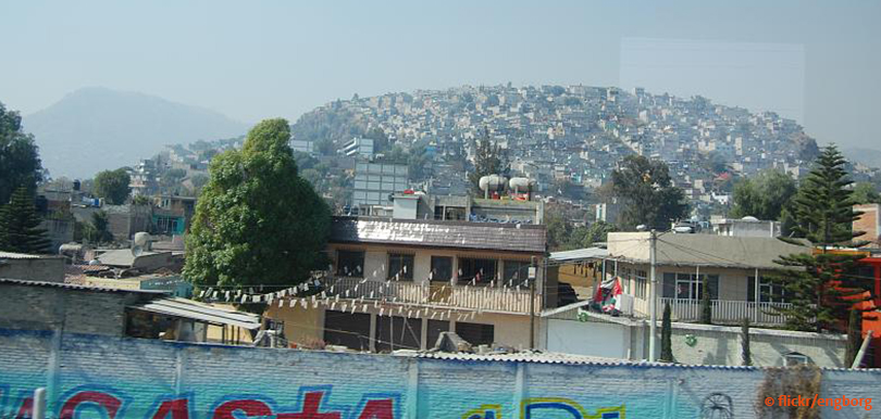
Photo: flickr/engborg
For the first time, data gathered via satellite—so-called remote sensing—and social data collected through human sensing have been linked
For the first time, data gathered via satellite—so-called remote sensing—and social data collected through human sensing have been linked scientifically with improved results. Miguel Rodriguez Lopez from Universität Hamburg’s Center for Earth System Research and Sustainability (CEN) introduced this innovative approach in the current issue of Applied Geography.
Dr. Rodriguez Lopez and his team investigated the illegal growth of megacities as exemplified by Mexico City. A large number of hinterland dwellers are settling on the outskirts of the city, often creating unofficial neighbourhoods called slums. Slum inhabitants lack legal security and are frequently controlled by gang leaders, police, and local politicians outside official structures. Insufficient infrastructure and violent conflict further complicate the situation.
At the same time, indiscriminate urban expansion is a major driver of CO2 emissions. The size and dimension of slum areas—like any other illegal land use—are difficult to determine without reliable figures. Social and urban development as well as climate prediction depends on valid data. The team around Rodriguez Lopez therefore developed a new method for correctly identifying hot spots of illegal urbanization.
Data sources: satellite data and citizen complaints
The researchers combined two very different types of data bases. Initially, they assessed satellite images of the southern city boundaries from 2009 to 2014 based on a geographic information system (GIS). At resolutions of up to five meters areas were either graded as natural or populated. To the south, Mexico City borders directly on large nature reserves where any emerging settlement is definitely unapproved.
In addition to satellite remote sensing data, 18,000 citizen complaints reporting environmental offences, such as illegal settlements in nature reserves, to Mexico City’s environmental protection agency were evaluated. This human sensing data from 2002 to 2013 is available on the agency’s homepage. All reports are georeferenced, i.e., exact geographic coordinates are provided. Thus, the information is categorized as volunteered geographic information (VGI).
New neighbours less wanted: wealthy districts frequently report settlement violations
Both data sets enabled the scientists to create the first detailed maps that become even more exact when combined: any concurrences (see fig.) indicate a 99 percent probability of illegal settlements. This method is an efficient tool that helps identify emerging slum areas accurately.
The research team also discovered why human sensing data proved particularly exact in some areas. Surprisingly, data accuracy correlated not only with the number of reports but even more so with the unemployment rate in surrounding areas. New slums right next to regions with a high rate of unemployment were seldom reported. By contrast, wealthy districts with high employment levels reported a lot of settlement violations, indicating that the new neighbors were less wanted there.
Human sensing data also facilitates prognoses. Citizen complaints clearly point towards areas of future urban growth—valuable information for developing preventive concepts.
Moreover, the new method is applicable to all megacities and may tap into further sources of human sensing such as VGI produced within Google or Twitter. Experts expect major rural-urban migration, for example in Asia and Africa. On top of social and legal ramifications, this would sharply boost climate-relevant emissions. Hence, decision makers need a thorough understanding of urban sprawl patterns in order to find effective countermeasures.
Source:
Rodriguez Lopez J.M., Heider K., Scheffran J. (2017): Frontiers of Urbanization: Identifying and Explaining Urbanization Hot Spots in the South of Mexico City Using Human and Remote Sensing; Applied Geography; http://dx.doi.org/10.1016/j.apgeog.2016.12.001
Contact
Dr. Juan Miguel Rodriguez Lopez
CEN, Universität Hamburg
miguel.rodriguez"AT"uni-hamburg.de
040-42838-8619
Julika Doerffer, Öffentlichkeitsarbeit
CliSAP/CEN Office
Grindelberg 5, 20144 Hamburg
julika.doerffer"AT"uni-hamburg.de
040-42838-4237

