Warning, flood risk: Where citizens of Hamburg need more support
12 January 2022, by Malte von Szombathely

Photo: UHH/CEN/T.Wasilewski
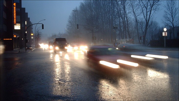
Due to climate change, extreme weather events are becoming more frequent in Hamburg. The city is well-equipped to withstand storm surges, thanks to a system of levees. But heavy rains and flash floods can occur anywhere – not just near rivers. Since June 2021, Hamburg has also maintained a hazard map for heavy rains. The map shows how water flows through the city, and where it can come to flooding.
In this regard, my focus is on how people respond in catastrophes. Are all citizens exposed to the same hazards and therefore equally at risk? Which of them can overcome crises on their own, and which can’t? To find answers to these questions, together with my colleagues at Universität Hamburg’s Cluster of Excellence for climate research, CLICCS, I’m analyzing a range of social data.

To date, in order to determine where the citizens of Hamburg are most endangered by floods, the population density has been the parameter of choice, the assumption being that the fewer people living in a given area, the fewer there are affected when a crisis strikes. But does this approach accurately reflect citizens’ vulnerability? To arrive at a more accurate picture of the reality, we supplemented further social factors. The requisite data was available at the Statistical Office of Northern Germany’s Hamburg branch.
To calculate the vulnerability of the citizens in a given district, we first determined the percentages of children under the age of ten and elderly people living alone. In crisis situations, these groups often need help and can barely save themselves, if at all. Another aspect we examined: the ability to overcome crises, which reflects the percentage of citizens who receive financial support from the state, and those with no higher diplomas or degrees. Why did we include these factors? Because money can help to solve problems; a higher income offers citizens more options for improving their own situation – for instance, after a flood has destroyed their home or belongings.
On the basis of this data, we prepared a number of social vulnerability maps. When our findings are compared with the population density map, a number of similarities can be seen. But it’s worth taking a closer look. For example, our calculations indicate higher vulnerability in Kirchdorf-Süd, Steilshoop and in Osdorfer Born. Though the vulnerability is already high in these areas because of the population density, it is exacerbated by social factors. And if we look in even more detail, we can see that there are many areas in which a very high number of older citizens are living alone – like in parts of Bergedorf. Based on the population density alone, this aspect wasn’t apparent before. In contrast, west of the Alster the population density is high, but the people living there can more easily respond to risks; many of them have advanced degrees and the financial resources needed.
Our calculations show in which districts improving protection from flood-related risks is especially important. In addition, examining social vulnerability reveals those areas in which the financial resources and educational opportunities are still inadequate. It’s essential to make massive investments in education in these areas, so as to ensure that the people living in them can, in the long term, more readily cope with crises.
More Information
Dr. Malte von Szombathely is an urban geographer and part of Universität Hamburg’s Cluster of Excellence for climate research “Climate, Climatic Change, and Society” (CLICCS).
Newspaper
This article was first published as a guest article in the Hamburger Abendblatt as part of a monthly series on climate research. Find all articles of the series here.


